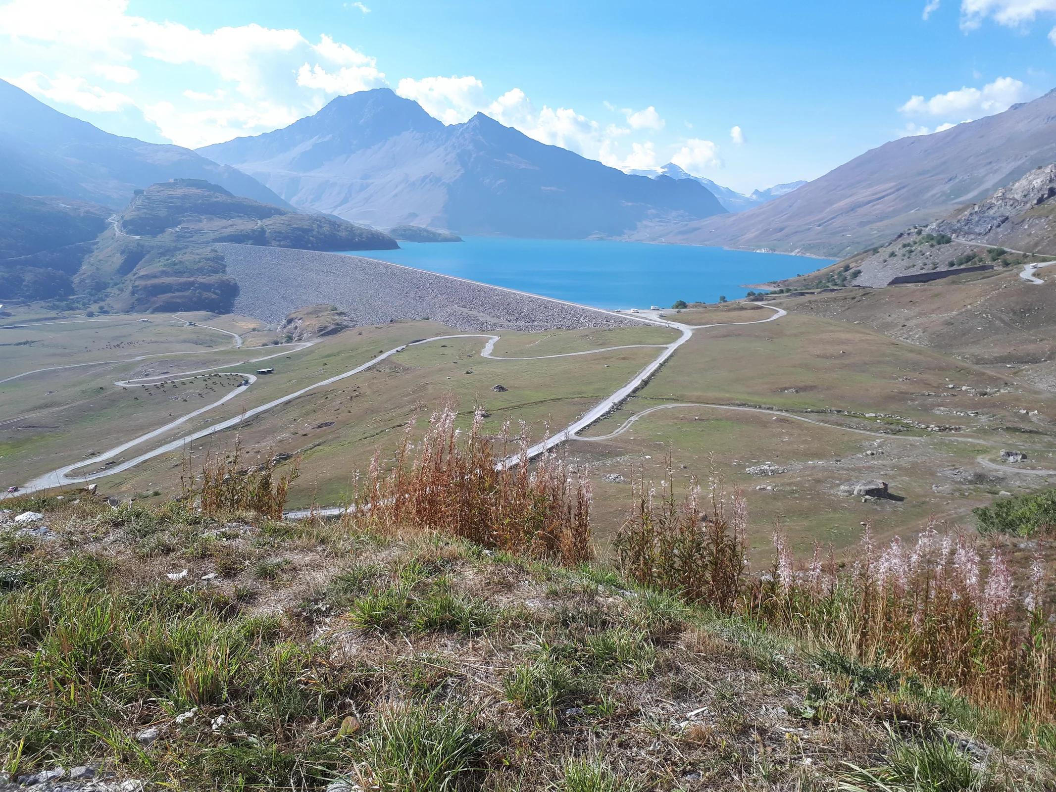
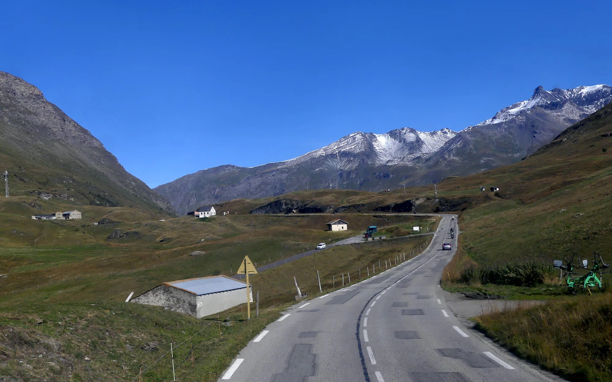
Road and mountain landscape at Col du Mont Cenis / Colle del Moncenisio
Photo: Phfrac
🇫🇷 🇮🇹SavoyMountain pass · Roadbook

Col du Mont Cenis / Colle del Moncenisio

Historic high alpine crossing with a wide character.

Elevation
2,083m
AlpinChaser Score
3.3out of 5

The real line · right from the start

See Col du Mont Cenis / Colle del Moncenisio before you ride it.

Experience the real route first – then explore its bends, terrain and surroundings on the interactive satellite map.

km real route approaches

Map services load only after your click.

approaches
Col du Mont Cenis / Colle del Moncenisio · 2,083 m
approaches
Original polyline · not a symbolic route
Region
Savoy
Best approach
Lanslebourg-Mont-Cenis
Scenery
4.0 / 5
Riding challenge
2.0 / 5
Ready to plan

Col du Mont Cenis / Colle del Moncenisio at a glance.

The most important values in one clear overview.

Elevation
2,083 m

Height of the crossing
Region
Savoy

Alpine area and surroundings

Best approach
Lanslebourg-Mont-Cenis

AlpinChaser recommendation

Scenery
4.0 / 5

Ride DNA

Technique
2.0 / 5

Ride DNA

Road condition
4.0 / 5

Ride DNA

Ride DNA
3.3/ 5
AlpinChaser total score
Editorial
3.3
Community
No ratings yet

The total score combines the editorial ride profile with AlpinChaser community experience. Categories show the current weighted result.

How this pass feels.

Large and clear enough to compare before the ride, without hiding decisive values in small cards.

Scenery4.0
Flow4.0
Technique2.0
Road condition4.0
Traffic3.0
Popularity3.0
Our recommendation

How we would ride this pass.

Lanslebourg-Mont-Cenis

From Lanslebourg, the pass climbs evenly and smoothly, with clear lines and less traffic than from Susa.
What stays with you
  • Historical transition
  • Open high Alps
  • Vast landscape
Before departure
  • Fog near the pass
  • Grazing animals on the road
  • Rapid weather changes
See it once · then ride

The road in pictures.

1 / 2
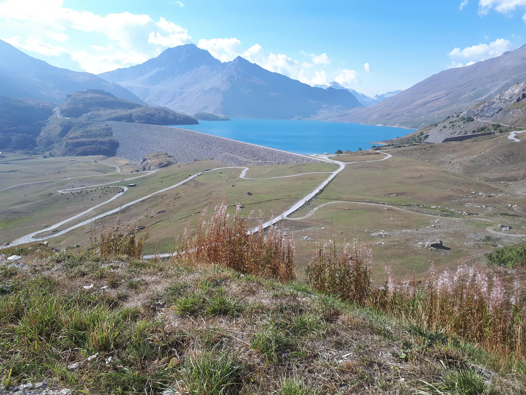
Col du Mont Cenis / Colle del Moncenisio – alpine road impression
Col du Mont Cenis / Colle del MoncenisioPhoto: Florian Pépellin
FAQ

Frequently asked questions about Col du Mont Cenis / Colle del Moncenisio

How high is Col du Mont Cenis / Colle del Moncenisio?

Col du Mont Cenis / Colle del Moncenisio reaches an elevation of 2,083 metres in Savoy.

Is Col du Mont Cenis / Colle del Moncenisio worth riding by motorcycle?

The Mont Cenis is not a technical pass, but a generous high Alpine crossing. Wide bends, a good overview and moderate speed characterize the riding. The AlpinChaser riding score is 3.3 out of 5.

Which is the best approach to Col du Mont Cenis / Colle del Moncenisio?

Lanslebourg-Mont-Cenis is the recommended approach. From Lanslebourg, the pass climbs evenly and smoothly, with clear lines and less traffic than from Susa.

What should motorcyclists consider on Col du Mont Cenis / Colle del Moncenisio?

Fog near the pass Grazing animals on the road Rapid weather changes

When is Col du Mont Cenis / Colle del Moncenisio open?

High-alpine roads can be affected by seasonal closures, snow, construction or short-notice restrictions. Check the official local road status on the day of travel.

More than a map

Don’t just look.Ride. Collect. Remember.

Discover more than 650 passes, find the route that suits you and build your personal AlpinChaser collection with every ride.

  • Discover passes
  • Track progress
  • Share experiences

For iOS and Android · Start for free

AlpinChaser pass collection in the app
Keep riding

Passes nearby